


Francine downgraded to tropical storm; pushes into North Shore and Mississippi
By ALAN SMASON, Special to the CCJN
Hurricane Francine barreled through the New Orleans area after making landfall shortly after 5:00 p.m. on Wednesday afternoon, Sept. 11, near Morgan City, unleashing the brunt of its power onto the still recovering residents of Terrebonne Parish left decimated by Hurricane Ida three years ago.
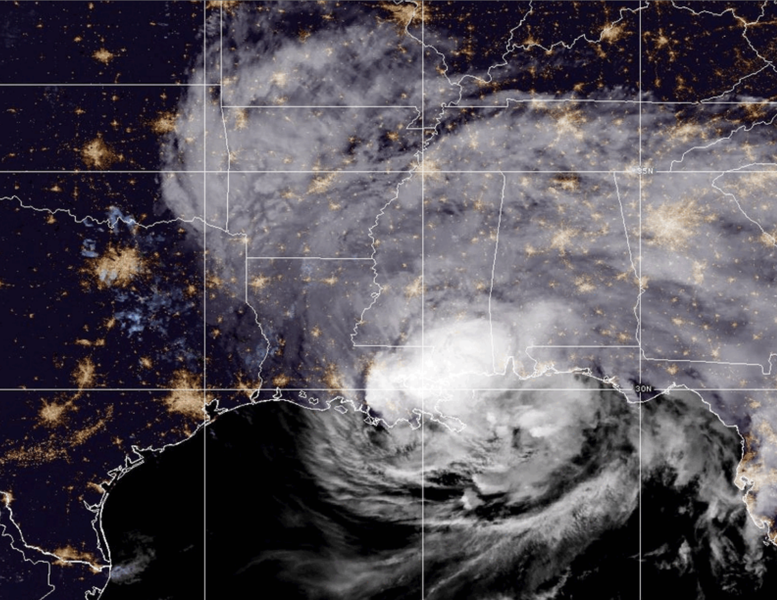
Tropical Storm Francine moves into Mississippi after making landfall at Morgan City and tearing through the New Orleans area. (Photo via National Hurricane Center)
With sustained winds of more than 96 miles per hour, the storm moved at a very fast 16 miles per hour towards the northwest. National Hurricane Center officials designated Francine as a Category 2 storm, but then quickly downgraded the system to Category 1 as its winds dropped to less than 90 miles per hour.
Over the course of the next four hours, Hurricane Francine advanced as a Category 1 storm until 10 p.m., when it was downgraded to tropical storm status.
Power outages were reported across the metropolitan area with most customers without power in Terrebonne, St. James and St. John Parishes. As many as 65,000 customers in Jefferson Parish on both the East and West Banks were also without power. Entergy reported that 42,000 customers, most of them in Orleans Parish, were also without power.
Officials with Entergy reminded the public that repairmen must wait until conditions are safe before they effect repairs. That means winds must drop to below 30 miles per hour. Several trees were downed by the storm as it advanced northward, creating hazards to vehicular traffic and bringing down some power lines.
The area endured several flash flood warnings throughout the day as drainage was stifled by record rains. Several neighborhoods reported between 6 and 8 inches of rain. The 7 and a half inches reported at Louis Armstrong Insternational Airport shattered the record for most rain on this date.
